
Lancaster County ZIP Code Directory Coverage
ZIPs are postal areas, not municipal boundaries. This representative table is deliberately labeled for ZIPs serving or intersecting Lancaster County. It does not claim that every listed code lies wholly within the county, or that every address bearing a named city is inside its limits. The Postal Service is the final source for a specific delivery address.
| ZIP | Areas Covered | Post Office | Notes |
|---|---|---|---|
| 68502–68528 | Lincoln’s principal residential and service areas | Lincoln postal service | Representative range; several edge areas intersect other geography |
| 68317, 68336, 68339 | Bennet, Davey, and Denton | Named community association | Verify the street address and county |
| 68358, 68368, 68372 | Firth, Hallam, and Hickman | Named community association | Postal city and municipal identity can differ |
| 68402, 68428, 68430, 68462 | Malcolm, Raymond, Roca, and Waverly | Named community association | County edges and routes require USPS confirmation |
| 68501, 68509, 68529, 68542 | Lincoln post-office box or special-use associations | Lincoln postal service | Do not assume an ordinary delivery area |
| 68544, 68583, 68588 | Unique or special-use associations, including the University of Nebraska | Special-use association | Not a normal neighborhood ZIP |
Other county-intersecting rural codes exist. The research did not produce a static USPS countywide list, so a complete-looking list would overstate the evidence. Check each address with USPS before making a ZIP-based record search.
Lincoln ZIP Code Directory Areas
The 68502 through 68528 range is the principal Lincoln residential and service grouping. It includes central, north, northeast, east, southeast, downtown, west, southwest, and edge areas. That summary is useful for narrowing an official property search, but it should not be read as a street-by-street boundary map. A code at the edge can cross a city or county line, and a Lincoln mailing city can be attached to a rural or unincorporated location.
ZIP 68507 illustrates the historical problem. It keeps the Havelock postal identity even though Havelock is within Lincoln. Lincoln’s annexation study places the annexation of Havelock, University Place, and College View between 1926 and 1930. An older directory, map, or deed may use a former community name that a current parcel record describes as Lincoln.
For an ownership or legal-description question after a ZIP is narrowed, use the address-level process on the Lancaster County by-street page. A ZIP reduces the area; it does not replace the parcel identifier or legal description.
Village ZIP Codes in Lancaster County
Small communities give the ZIP code directory a different shape from Lincoln’s routes. Bennet uses 68317, Davey 68336, Denton 68339, Firth 68358, Hallam 68368, Hickman 68372, Malcolm 68402, Raymond 68428, Roca 68430, and Waverly 68462. These codes help form a starting area, but the county’s mix of villages, rural routes, and postal labels means an individual property still needs address verification.
County government also lists rural communities and unincorporated villages. Their mailing labels can differ from a municipality or Census place. A historical record may use a village name, a precinct, a road name, or a township description, while a current property card uses a street address and PID. Record the date and place label before deciding that two records describe different places.
A rural route or village clue that does not appear in a Lincoln city directory has a local fallback. The 1921 Atlas of Lancaster County includes an alphabetical index of rural residents and family members. Pair that index with the parcel legal description, plat material, and census work rather than trying to force an older rural reference into a modern ZIP boundary.
Verify a Lancaster County ZIP Code
Use the official USPS ZIP Code Lookup for a specific Lancaster County delivery address. It is the address-level check for the preferred city name and deliverability. This is especially important for rural routes, county edges, post-office boxes, and special-use codes such as 68544 or 68588.
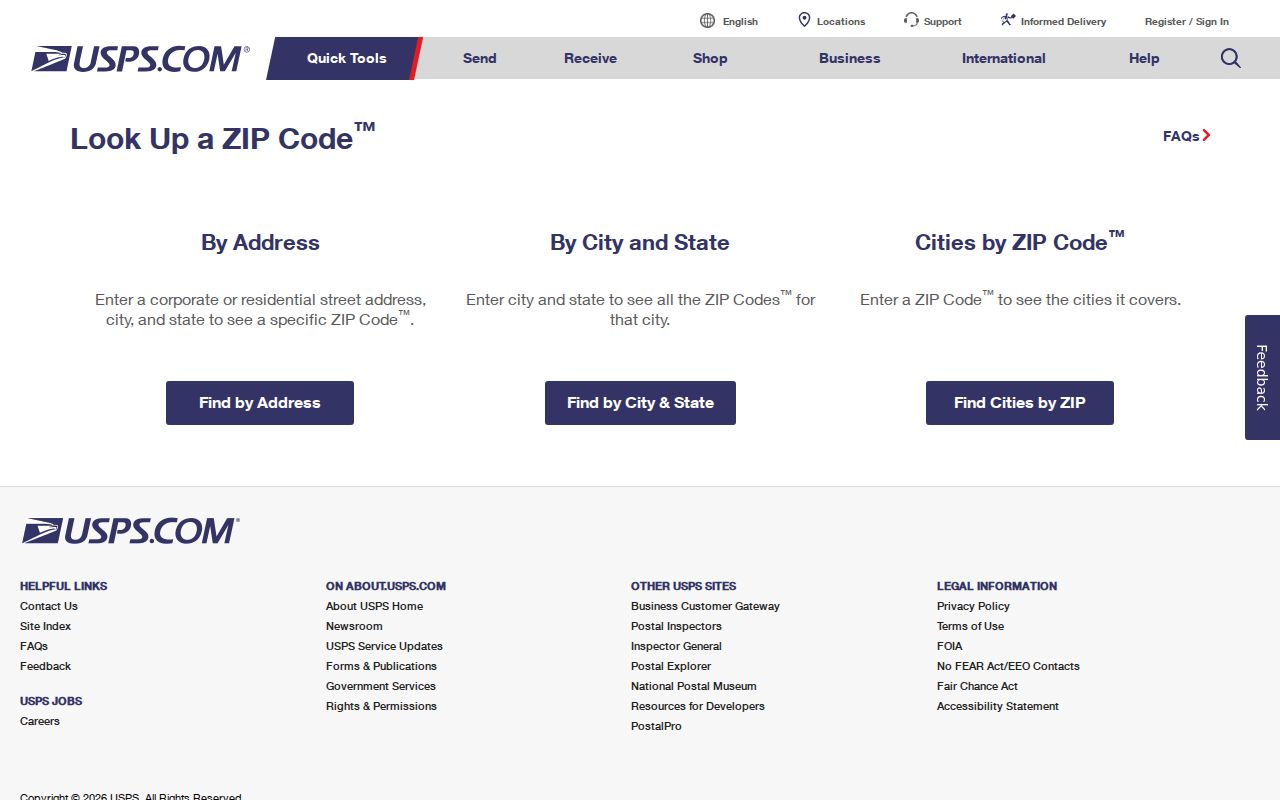
The USPS form verifies an address, not a parcel owner or a city boundary. Keep the result with the exact street address used, then compare it with the county parcel and GIS record when an official ownership or mapping question remains.
Do not replace that check with a map pin, a local nickname, or an older directory label. The county’s research specifically cautions that a Lincoln mailing city can be connected with a rural or unincorporated location, while some postal areas meet a county edge. USPS resolves the delivery question for the precise address entered.
Search Lancaster County Records by ZIP
Orion Advanced Search is the county tool that accepts a ZIP Code field and can return properties matching that ZIP. It also has City, Street Name, street-number range, owner-name, PID, neighborhood, legal-description, property-type, and property-status filters. Add an address or owner detail when the ZIP result is too broad.
- Verify the delivery ZIP through USPS and preserve the address spelling shown there.
- Open Orion Advanced Search and enter the ZIP Code, then add City or Street Name where appropriate.
- Open a specific result and capture its PID, situs address, and legal description rather than relying only on the owner field.
- Use the City-County GIS viewer for parcel context, then move to the recorder search if a recorded transfer must be checked.
| Orion field | ZIP-based search use |
|---|---|
| Zip Code | Returns properties matching the entered ZIP. |
| City | Pairs a postal area with a city label, where useful. |
| Street Number From / To | Restricts a ZIP result to an address range. |
| Street Name | Finds properties on a named street within the search. |
| Owner Name | Tests a titled-owner name, not general household membership. |
| Property ID and legal description | Supplies the stable parcel identifiers for later checking. |
Orion’s quick search can match a street phrase inside a legal description. Advanced Search is the better choice for a true ZIP-plus-street sweep.
A ZIP-wide result is only a candidate set. Lancaster County’s PID may appear in compact form, such as 1026225002000, or in a hyphenated form such as 10-26-225-002-000. Save that identifier and the legal description before comparing the result with GIS or a deed record. The street address is convenient; the legal description controls the title trail.
Other Lancaster County ZIP Filters
ZIP functions vary by custodian. Nebraska VoterCheck does not offer a ZIP field for registration confirmation; it uses a name plus county, while its polling-place tool uses a residential location. The Lancaster Election Commissioner’s formal voter-list process is legally limited and cannot be turned into an Internet directory. A ZIP is therefore not a VoterCheck shortcut.
The DHHS License Information System accepts ZIP with name, license status, profession, license type, city, and county. The Nebraska Sex Offender Registry allows ZIP in its regional search. The State Treasurer’s unclaimed-property search accepts ZIP as well as name and property ID. Each has a limited purpose and should be read according to its own scope.
These state systems can supply a location-related clue or a professional status. They do not prove a current parcel owner, household, or municipal boundary. Return to the official parcel or delivery record for that question.
Census ZCTAs and Lancaster County ZIP Codes
Census ZIP Code Tabulation Areas, known as ZCTAs, are statistical approximations. They help describe population geography, not delivery service, title, or the exact edge of a ZIP. The Census publishes ZIP/ZCTA-to-county and place relationship files specifically because postal and statistical geography do not align neatly.
The Census relationship-file page documents this geographic relationship and its limits. It is useful when comparing a county or place with a broad statistical ZIP area, not when deciding whether a single Lancaster County property belongs in a particular parcel set.
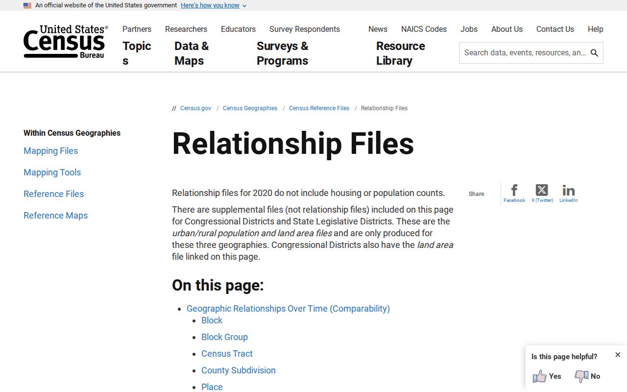
Use the relationship file as a map-reading aid. For a live address, USPS remains the postal verifier and county GIS remains the parcel-context source.
That distinction also prevents a statistical summary from being mistaken for an address search. A ZCTA can be useful for broad population context, but it does not tell the Election Commissioner which precinct applies, identify a City of Lincoln service area, or establish the legal description for a Lancaster County parcel.
Know Lancaster County ZIP Code Limits
A postal code is helpful only when its limits are clear. County legal descriptions, assessor PIDs, and city boundary records answer different questions from a mailing ZIP. This matters most when reviewing older records from Havelock, College View, University Place, or a rural route, where the place label can change over time.
- ZIP versus ZIP+4
- A ZIP identifies a postal delivery area; the added four digits narrow the delivery segment further.
- PO-box ZIP
- A code associated with post-office boxes rather than a normal street-delivery area.
- Unique ZIP
- A code associated with one institution or organization, not a broad neighborhood.
- Carrier route
- A Postal Service delivery grouping that may cut across other local boundaries.
When the ZIP, city label, and parcel description do not agree, do not choose one by guesswork. Verify the mailing address with USPS, review the GIS parcel, and contact the relevant local office about a boundary or addressing correction. Preserve the dated result with the record notes.