
Lancaster County Neighbors by Block
The public block layer is narrower than many people expect. A Lancaster County parcel map identifies a parcel boundary and PID. Orion returns a property result for a selected parcel. The recorder can add recorded transfers or plats. VoterCheck confirms a single current registration when a name and county are known, while the formal voter-list channel has legal conditions. City association contacts can point to a civic group, but they are not a member list.
| Source | What It Shows About a Block | Access |
|---|---|---|
| City-County GIS | Adjacent parcel polygons, boundaries, map layers, and PID context | Public map; live controls vary |
| Orion assessor | Property result, titled owner, legal description, and searchable filters | Free public search; live fields require inspection |
| Recorder search | Recorded owners, transfers, liens, plats, and legal-chain clues | Public login; registered or counter access for images |
| Nebraska VoterCheck | Current registration and polling context for one individual | Name plus county; not a block browser |
| Election list request | Authorized address and registration fields under statutory controls | Election office order, oath, fee, and no Internet display |
| Lincoln association map | Association boundary or a voluntarily shared contact | City map; no public member roster claimed |
These records describe parcels, owners, registrations, and civic contacts separately. An assessor property card does not prove every household member or any non-owner occupant. A mailing address can also be somewhere other than the parcel.
Map Lancaster County Neighbors Parcel by Parcel
The documented method begins with an exact address and works outward through parcel identifiers. It avoids assuming that a nearby marker, a mailing address, or a broad map label identifies the same property. The county’s static GIS information confirms parcel mapping and GIS downloads, but it does not confirm a particular buffer tool. Use only controls visible in the live viewer.
- Search the address in Orion and save the PID, situs address, and legal description for the starting parcel.
- Open the same location in the City-County GIS viewer. Select the starting parcel polygon and pan or zoom to the immediately adjoining parcels.
- Click each adjacent parcel separately and connect its PID to the associated Orion result. Treat the parcel boundary as map context, not a survey.
- When a transfer or boundary question remains, use the legal description and PID in the recorder search, then ask the recorder for the appropriate public record.
The flow is address to PID and legal description, then GIS polygon, then separate neighboring parcel clicks. For a whole named street rather than the immediate block, use the fuller Lancaster County by-street record trail.
- PID
- A property identifier used to crosswalk a parcel between county systems.
- Legal description
- The lot, block, subdivision, or rural land description that controls title more reliably than a mailing label.
- Situs address
- The location of the parcel itself, which can differ from a tax mailing destination.
- Parcel polygon
- The mapped shape of a parcel, useful for context but not a legal survey.
Read Lancaster County Parcel Results
Orion Advanced Search can use owner name, street number range, street name, city, ZIP, neighborhood, PID, legal description, property type, and status. That makes it a sound first stop for the block method. Its quick search can also match a street phrase in a legal description, so Advanced Search is better when the goal is a true street or parcel sweep.
Property information may show a titled owner, a business name, a situs, a legal description, and assessment-related fields. It does not prove who is present at the address today. A property owner may use a separate mailing destination. The GIS viewer supplies spatial context, while the recorder supplies recorded document context. Each is a different layer of the same search.
Lincoln PATS and permit sources can add planning applications, hearings, or address-linked work records. They are not a list of neighbors. Use them only when that narrow parcel question is relevant, and verify any result with the named city or county custodian.
Election Records for Lancaster County Neighbors
Nebraska VoterCheck requires a first name, last name, and county for a registration search. It can also use a residential location for a polling-place search. It is an individual confirmation tool, so it cannot be used to browse the residents of a block.
Neb. Rev. Stat. §32-330 makes the registration register public while placing strict conditions on copies and distribution. A request can seek authorized fields through the Election Commissioner, but it requires identifying information, a reason, and an oath. Distributed lists may not be posted, displayed, or made Internet-accessible. Confidential designations and digital signatures are withheld, and ACP participants have further protection.
The Lancaster County Election Commissioner is the proper office for a lawful list request or an election-record question. The official office information shown below is a better starting point than trying to turn a registration screen into a neighborhood roster.
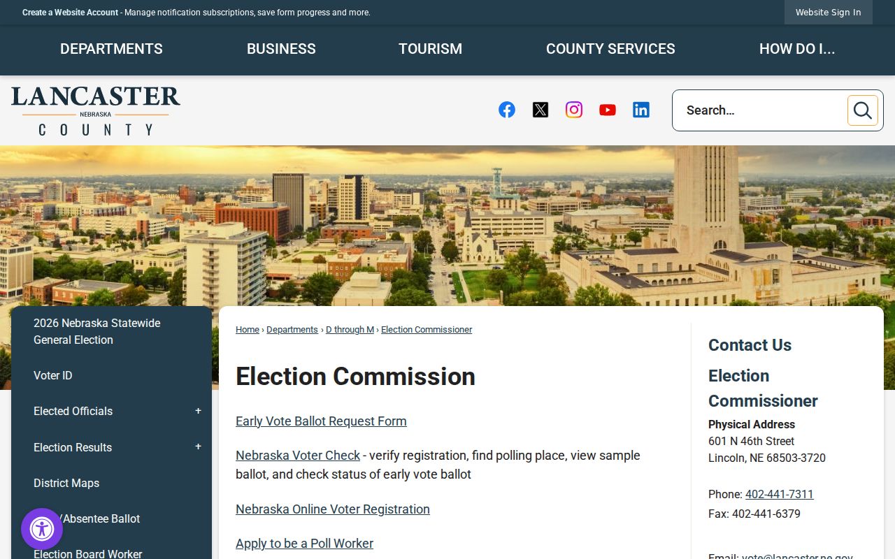
The Election Commissioner is at 601 N. 46th Street in Lincoln and lists weekday public hours of 8:00 a.m. to 4:30 p.m. Check the office page for current procedures before making a request.
The county’s July 2025 order form shows how limited and formal this route is. It offers CD, flash drive, CSV, or tab-separated text and can narrow a request by political subdivision or listed field, but the base cost, voter-count charge, and oath still apply. The countywide registered-voters-with-history option was listed at $50. Those details do not convert the lawful list into an open neighborhood directory.
Lancaster County Neighbor Contacts
Lincoln’s official neighborhood page is a civic-contact layer, not a directory of people. The city map identifies known active or open neighborhood associations and includes homeowner association contacts only when an association agrees to share them. Use it to find a boundary, a meeting contact, or a community notice. The research found no public roster for association members, block-watch groups, congregations, or other local civic groups.
| Community layer | What the official source supports |
|---|---|
| Neighborhood associations | City map and contact list for known active or open associations; membership is voluntary and open to the public. |
| Homeowner associations | City map can share a contact when the association agrees; these groups are generally property-tied. |
| Mayor’s Neighborhood Roundtable | A citywide networking forum for neighborhoods, government, and organizations, established in 1984. |
| Secretary of State search | Can help check an incorporated association’s entity filing or listed contact, not a resident roster. |
Association contacts change voluntarily. The city asks associations to update contact information through its planning department, so contact data should be treated as a route to the group rather than a way to identify every person in an area.
For a rural Lancaster County block, local civic contacts vary among Bennet, Davey, Denton, Firth, Hallam, Hickman, Lincoln, Malcolm, Raymond, Roca, Sprague, and Waverly. The research did not locate a countywide civic-member directory. Historical meeting notices, newspapers, and archives are more appropriate sources for earlier community context.
Use the Lincoln Neighbor Association Map
The City of Lincoln’s neighborhood association map explains the difference between voluntary neighborhood associations and property-tied homeowner associations. It also directs associations to keep their shared contact information current. Its limited contact model is intentional and should be respected.
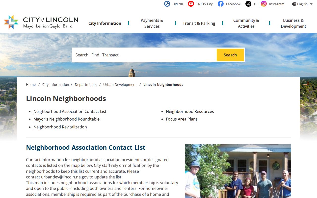
The map can place a block in a civic context without producing a private list of people. For earlier neighborhood history, use newspapers, local archives, or historical directories rather than assuming a current civic group kept a public roster.
Bennett Martin Local History Center has city directories from 1873, newspapers from 1867, and Sanborn maps from 1883 to 1962. Those sources can show earlier street context, but a historical address entry should be matched to the year and street name before being compared with a current parcel.
Compare Lancaster County Neighbor Sources
Official records state what they cover and where their limits are. Private neighbor products usually infer nearby people from parcel, marketing, and address data. They can combine adjacent units, omit non-owner occupants, or retain an old owner. That difference matters when the question is simply who owns a neighboring parcel versus who has a current civic contact.
| Source category | Strength | Limit to remember |
|---|---|---|
| Official GIS and assessor record | Parcel boundary, PID, and property result with a named custodian | Does not prove every person associated with the address |
| Recorder and public civic contact | Recorded transfer trail or voluntarily shared association contact | Different question from present household membership |
| Private neighbor product | May offer a fast starting suggestion | Can be stale, incomplete, or merge unrelated people |
For a personal, lawful question, record the exact official source and date. If a name or boundary does not match, seek clarification from the county, city, or association contact instead of filling the gap with a guess.
Protect Lancaster County Neighbors
A block search cannot disclose every household member, a protected participant’s true address, a DMV address, a utility subscriber, delivery records, or private association membership. Nebraska’s Address Confidentiality Program provides a substitute address and mail forwarding for qualifying people who need safety protection. Election records also withhold protected designations. A mapped parcel is not an invitation to expose private information.
When an official result is incomplete, accept the limit or ask the custodian what public record, if any, is available. Nebraska’s records law does not require an office to release information that another statute protects.