
Finding Lancaster County Street Records
A street-by-street search begins by normalizing the address: house number, directional prefix or suffix, street name, abbreviated road type, unit if needed, and ZIP. The official Orion help specifies abbreviations such as ST, DR, RD, BLVD, CIR, and AVE. In Lincoln's legacy permit search, numbered streets also require the ST, ND, RD, or TH suffix. That small formatting step prevents a good address from being missed by an exact field.
The first result should be treated as a parcel lead, not a complete statement about people at an address. Record the PID, situs address, owner name, legal description, and property status. Then use the GIS parcel map to see the parcel's position, the Register of Deeds index to follow a transaction, and the appropriate historical source for a dated household connection. This sequence anchors a Lancaster County street directory search to the land record before any name is compared.
- Search the address in Orion; if the result is broad, use Advanced Search with Street Name and a number range.
- Save the PID and legal description, then open the parcel in the City-County GIS viewer.
- Click the parcel and adjoining parcels to compare their map positions and parcel identifiers.
- Search the recorded grantee and legal description in the recorder index, then work backward through prior grantors.
- Use VoterCheck only to confirm an individual registration, and use library street or reverse directories for earlier address evidence.
Lancaster County Street Directory Search Fields
Orion Quick Search accepts a mixture of owner name, address, legal description, and PID. It is useful for a distinct address, but it can match a street phrase inside a legal description. The official help gives a concrete warning: a search for a street phrase can return a parcel whose legal text contains that phrase even when its situs is elsewhere. For a genuine street sweep, Advanced Search is the reliable mode.
| Advanced Search field | Street-directory use | Official note |
|---|---|---|
| Street Number From / To | Limit results to a segment or range | Without a street name, the range spans every street |
| Street Name | Return parcels on the named street | Use abbreviated road types for quick address searching |
| City and ZIP Code | Separate locations with similar road names | Both are available in Advanced Search |
| Neighborhood | Narrow a local street search | Neighborhood name is available from Property Details |
| Owner, business, property type, and status | Refine a known parcel group | Active, Inactive, or All status controls are available |
| Subdivision and block | Bridge a street address to plat language | Pair subdivision name with the block designator |
A PID may appear as 1026225002000 or 10-26-225-002-000. It is the cross-reference that links property-search results to GIS and the land-record trail.
Walking a Lancaster County Street Map
The City-County GIS viewer provides the spatial part of a Lancaster County street directory search. Search or select the parcel, then click adjoining polygons one at a time to gather the nearby PIDs and property context. County GIS materials describe cadastral mapping, geographic features, data downloads, a PID scheme, and a Help tab. The live viewer's layer names and controls can change, so rely on the active map and its current labels.
A parcel boundary is map context, not a survey. It can show how lots line up along a street and which legal descriptions should be compared. It cannot identify every person connected with a building. When a street contains units or a subdivision with internal roads, record the exact address and parcel selected before moving to a deed or permit search.
The Lancaster recorder's public-login page shows the access distinction for the deed index.
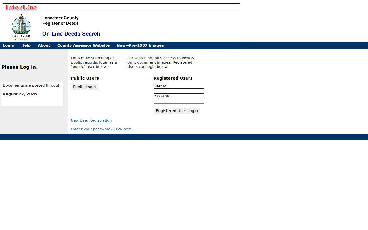
The recorder service separates public login for simple searching from registered access for viewing and printing images, so an index hit may require a counter or registered access to inspect its image.
Lancaster County Records by Street
Address-keyed systems do not all answer the same question. The assessor record is the starting point for a parcel and titled owner. GIS supplies parcel location. Recorded instruments establish transactions and legal language. City systems can supply a planning or permit event. A historic directory may associate a name with an address during its publication period. Use a consistent PID and legal description to avoid joining facts from different parcels with similar street names.
| Address record | What it can establish | Local keeper | Access |
|---|---|---|---|
| Orion property record | Parcel, titled owner, situs address, PID, and legal description | Assessor/Register of Deeds | Free quick and Advanced Search |
| GIS parcel viewer | Parcel geometry, adjoining parcels, and map layers | Lancaster County / City of Lincoln | Public viewer and downloads |
| Recorded deeds and plats | Grantors, grantees, instruments, recording dates, and legal descriptions | Register of Deeds | Public index; images through registered access or other office channel |
| PATS planning file | Application, PIN, hearing, action, and key documents | Lincoln Planning | Address, PIN, application, planner, or date search |
| Permit and occupancy records | Work, permit, structure, and date evidence | Lincoln Building and Safety | Legacy page, current Accela, GIS layer, or records request |
| Historical directories | Dated name-and-address association | Bennett Martin / History Nebraska | Onsite directory and microfilm collections |
Note: A location record may name an owner, applicant, contractor, or other contact, so source role and date remain essential.
Following Lancaster County Deed Chains
The recorder's index is the legal chain for a parcel. Take the current owner and legal description from Orion, search that owner as grantee, and match the instrument's legal description. The prior grantor becomes the next name to search as a grantee in an earlier date range. Continue by exact vesting name, instrument type, recording date, and lot or block language. A seller may be a trust, estate, corporation, or multiple people, which is why a surname-only chain is weak.
Older deeds often do not use a modern street address. A plat translates a street location into lot, block, and subdivision; rural land may use section-township-range or metes-and-bounds. A grantor is the party transferring an interest, while a grantee is the party receiving it. A situs address is the parcel's physical location. Those terms let the street directory trail cross from a contemporary address into older recorded language.
- Parcel
- A defined tract of land matched by PID, boundary, and legal description.
- Plat
- A recorded map that lays out lots, blocks, subdivisions, or other legal land divisions.
- Situs address
- The physical address of the taxable parcel, distinct from any tax-notice destination.
- Criss-cross directory
- An address-arranged directory used to connect an earlier household with a street location.
The public recorder page shows a current posting-through date but does not state the earliest online index year. If the web trail ends, ask the Register of Deeds for the counter, microfilm, or staff-search option and use the precise legal description.
Lancaster County Address Planning Files
Lincoln's Planning Application Tracking Service, or PATS, is an address and PIN search tool for planning applications. It can display application dates, general content, upcoming hearings, actions, maps of zoning-action signs, and key documents. Address, PIN, application number, planner, date range, and subarea provide different search paths. PATS can connect a parcel to a formal land-use or planning event, but the city warns that information may not be current or complete.
Lincoln PATS describes the application tracking service and its address/PIN search.
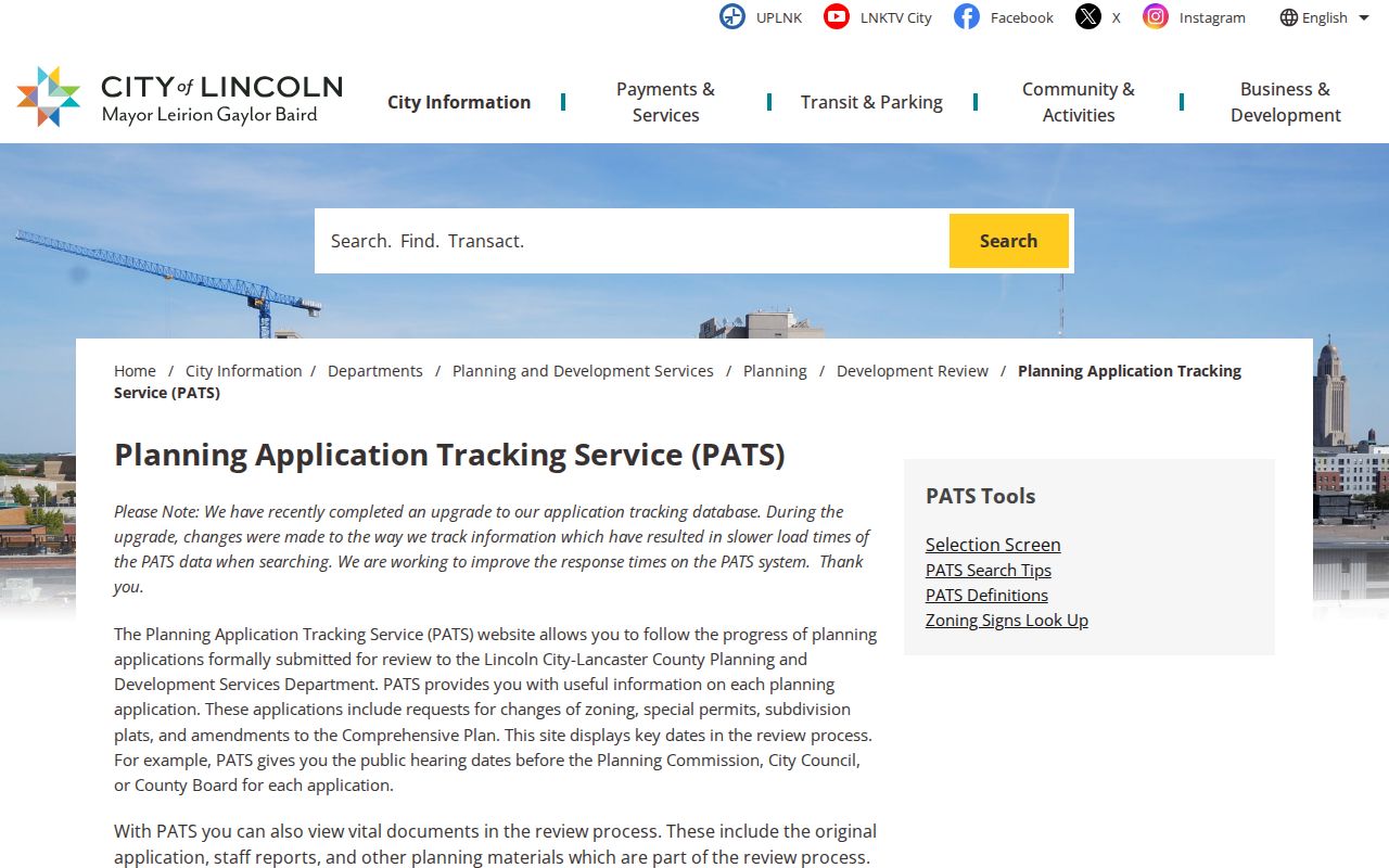
Use the application date and PID alongside the address. They help distinguish a planning record for one parcel from another record on the same street.
Lancaster County Street Permit Dates
Building and Safety links Building Permit Search, Index Card Search, Accela Citizen Access, applications, contractor information, and code resources. A permit can identify an applicant or contractor and document that work occurred at a location. It does not establish who lived there. For older address research, the occupancy-permit system has a specific split: its legacy search covers permits from May 1, 1999 through January 18, 2013, and later permits belong in Accela.
The legacy form needs an address number and street name, with an optional prefix and type, or a permit number. Date searches use MM/DD/YYYY and can span no more than 180 days. This makes the cutoff a useful dating clue when walking a Lancaster County street directory backward through records.
Lincoln Building and Safety supplies the current permit and index-card routes.
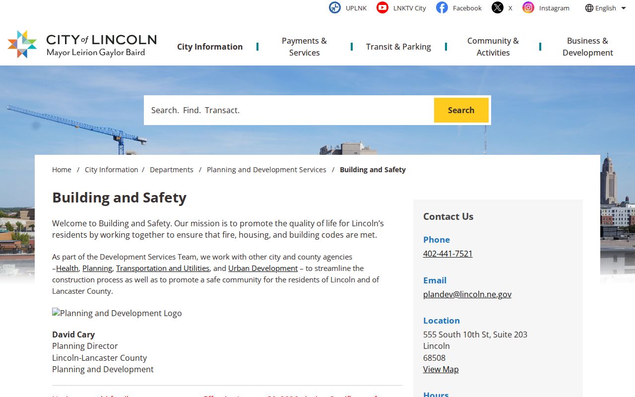
For a date outside the legacy range, search the newer system or request the relevant public record from the city department.
Lancaster County Streets and Annexations
Old addresses may appear under a place name that no longer describes the current municipal record. Havelock, University Place, and College View were annexed into Lincoln between 1926 and 1930. A directory, plat, or deed may therefore use one of those names while current assessor and city material says Lincoln. That is a place-label change, not proof that a person changed address.
History Nebraska's directory material includes a street-and-avenue name-change guide. Pair that guide with the legal description, plats, and GIS before treating a failed current street search as a dead end. Rural addresses can also rely on section-township-range or road names instead of the later city grid.
Lincoln's annexation information gives the municipal context for these address changes.
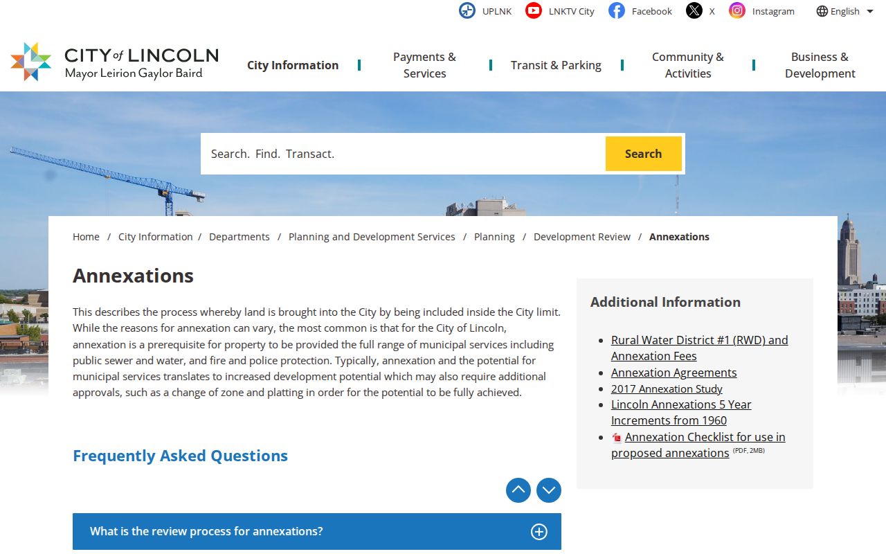
Record the year, printed place name, and full address before comparing an old directory entry with the modern parcel map.
Lancaster County Street Registration Limits
Nebraska VoterCheck is an individual confirmation system that uses first name, last name, and county. It is not a street-browse tool. The Election Commissioner has a separate statutory voter-list process, with filters that may include residential and mailing address, status, birth year, precinct, polling site, party, and voter history. That process requires requester details and an oath, and its lawfully distributed data remains subject to strict limits.
Under §§32-330 and 32-331, confidential designations and digital signatures are withheld. Distributed lists cannot be posted, displayed, or made Internet-accessible, and their uses are limited by statute. A registration finding also remains a time-specific election record, not a blanket statement about a household.
Lancaster's order form makes the separation clear. It offers countywide, election-specific, and political-subdivision options, plus CSV or tab-separated formats, but it is a formal Election Commissioner process rather than a public street directory. The form identifies requester and organization details, asks for a reason, and requires the statutory oath. The office should answer questions about current availability, cost, and permitted use before any request is submitted.
For current confirmation, keep the search narrow: full name, Lancaster County, and the result's date. For historical address work, use the dated directory shelf, a deed chain, a permit date, or a newspaper notice instead of treating a current registration result as evidence of an earlier period.
Lancaster County Street Directory Limits
A street directory cannot reveal every person associated with a building. Parcel records identify property interests, not a complete household. Voter information has confidentiality and statutory-use limits. DMV information is restricted by the federal Driver's Privacy Protection Act, and utility, delivery, private association, and other account records are not ordinary public address sources. Protected participants may appear only through a substitute address or not at all.
For a historical address, absence from a particular source may reflect a name variant, an omitted entry, a changed street label, a directory gap, or a record kept by another custodian. Do not infer a negative fact from one missing result. Ask the office holding the specific record, use the date and legal description, and retain only information needed for a lawful purpose.