
Lancaster County Previous Residents by Era
Past residents are best researched by time period, not by a single all-purpose search. The present parcel record fixes the current address and legal description. The deed chain moves ownership backward. Lincoln directories, telephone books, newspapers, and census schedules bring people into the sequence, while maps and permits place those people in a changing structure. Each source speaks to a different connection with the address, so an owner, a listed resident, and a burial record should never be treated as interchangeable.
| Address source | Documented period | Access point | Useful evidence and limit |
|---|---|---|---|
| Assessor parcel search | Current; historic cutoff not stated | Orion | Current owner, address, PID, and legal description |
| Recorder deed index | Current posting date shown; earliest web year not published | Tyler, counter, or microfilm | Grantor, grantee, instrument, date, legal description |
| Lincoln directories | Most years 1873-present; microfilm 1873-1972 | Bennett Martin and History Nebraska | Listed people and addresses; known gaps |
| Federal census | Public through 1950 | National Archives and library databases | Household on the enumeration date |
| Sanborn maps | 1883-1962 | Library and History Nebraska | Building footprint and address context, not names |
| Occupancy permits | May 1, 1999-Jan. 18, 2013 legacy system | Lincoln Building Safety | Address, permit, and date; later material is in Accela |
Begin with the parcel and deed route for ownership. Begin with directories and census schedules when the question is who was associated with an address in a particular period. A rural clue may need the 1921 Atlas of Lancaster County resident index, a plat, and a legal description before it will match a Lincoln street record.
Freeze a Lancaster Address First
Before seeking previous residents, save the current spelling of the street, city, ZIP, parcel ID, and legal description. Search the Lancaster County Assessor Property Search by the address, then use its Advanced Search when a street or ZIP query is needed. The site supports owner, address, PID, street, city, ZIP, neighborhood, and legal-description filters. A Quick Search can match a street phrase inside a legal description, so a result needs review before it is connected with the property.
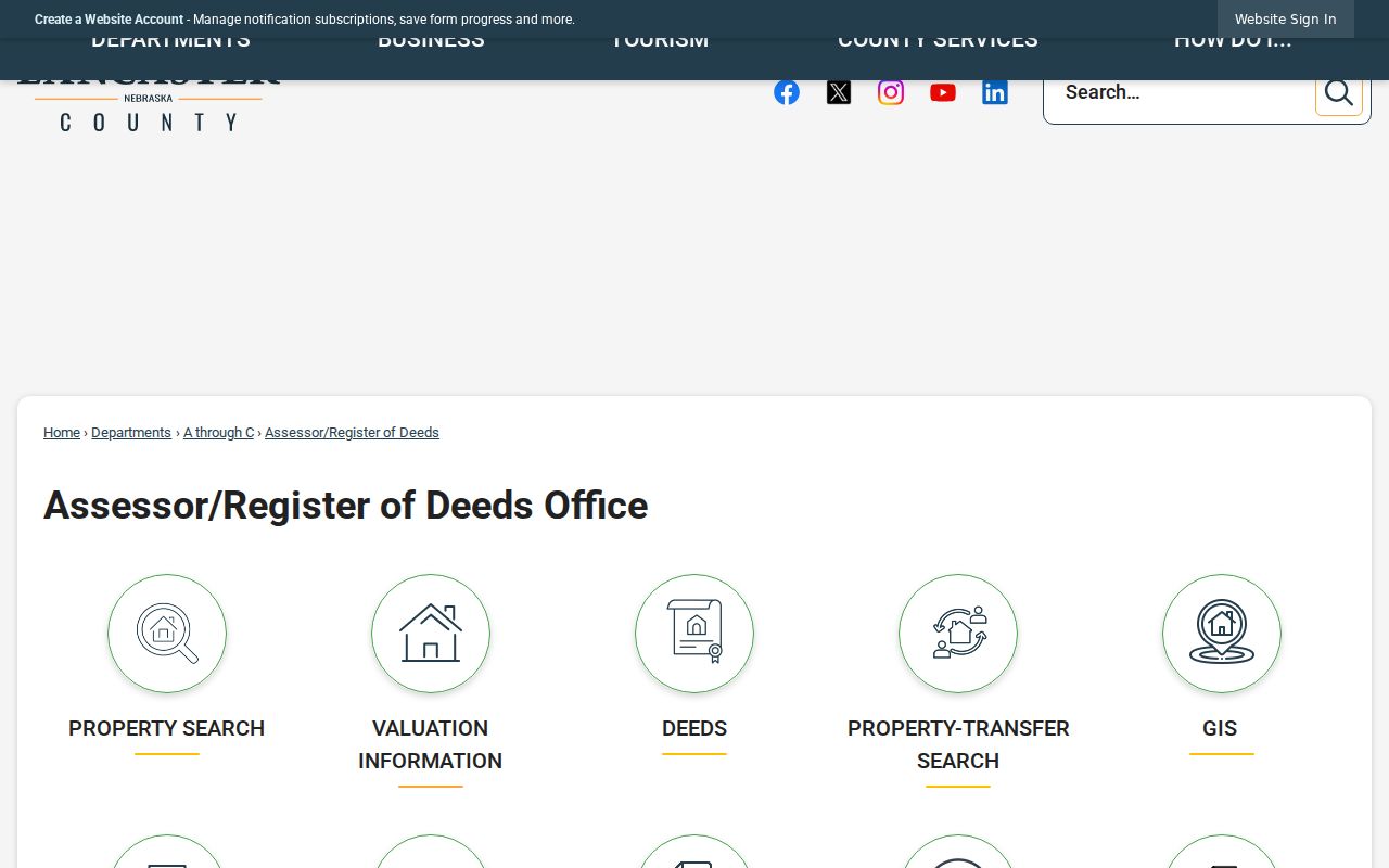
The Assessor/Register of Deeds office page is the source for the department and counter information.
The parcel record is a starting anchor. It may identify a current owner and a property, but it cannot establish every person who lived at the address.
The legal description is stronger than a street label for old records. It may use lot and block, subdivision, or rural section-township-range language. Keep the PID and description with every later deed note, especially where an older road name or a former community name appears.
Lancaster Previous Residents and Deeds
Ownership provides one branch of the prior-resident trail. The Register of Deeds receives and preserves deeds, deeds of trust, mortgages, liens, plats, releases, UCC filings, and other land instruments. Start with the current assessor record, find the current owner's purchase as a grantee in the recorder index, and compare the legal description before accepting a match. The named seller becomes the prior transfer point. An estate, trust, corporation, or several vested names need to be followed exactly rather than collapsed into one personal name.
- Copy the current PID, legal description, and property address from the assessor result.
- Use the Lancaster recorder search to locate the owner's acquisition as a grantee, then compare the description and recording date.
- Record the instrument type, document or book-and-page reference, grantor, grantee, and image availability.
- Search the seller as a grantee in an earlier period, and repeat only where the parcel description remains consistent.
- For a transfer involving an estate, use probate and death evidence to understand the transaction before assuming a routine sale.
- Grantor and grantee
- The grantor transfers an interest; the grantee receives it. Their names identify roles in one instrument, not an entire household.
- Chain of title
- The succession of recorded transfers for the same parcel, checked by its legal description and dates.
- Legal description
- The parcel's formal land description. It survives address changes better than a street name.
- Enumeration district
- A census administrative area used to organize enumeration. It helps locate a household when streets or place labels changed.
Lancaster Recorder's Unpublished Cutoff
The Tyler recorder login shows a current posting-through date, but official research did not locate the earliest year searchable on the web. Public Login supports simple searching, while a registered account is required to view or print images. That means a missing web result is not evidence that an older transfer is absent. Do not assign the index a starting year that the office has not published.
The Register of Deeds page describes the office that records the county's land instruments.
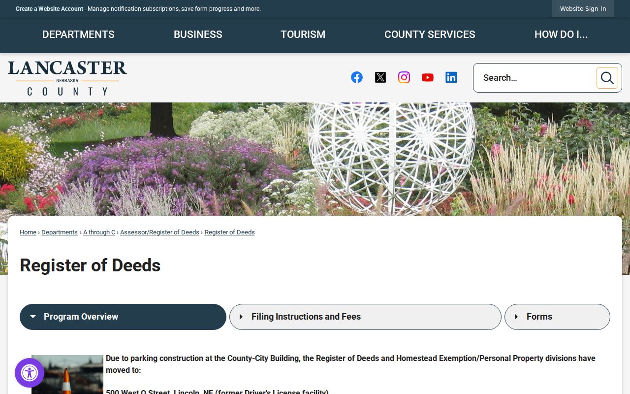
When the online trail stops, ask the counter for a search by legal description and use deed books or microfilm as directed. The Register and Homestead divisions temporarily moved to 500 West O Street during construction, while mailed recording documents remain addressed to 555 South 10th Street. Confirm the counter location before travel.
History Nebraska's RG207 inventory is another historical lead. It covers 1857 through 2006 and describes 3,982 volumes, 136 boxes, and 896 microfilm reels. Treat it as a finding aid, then request the pertinent record group rather than a vague search for every old record.
Building a Lancaster Household Timeline
Owners are not the full answer to previous residents. Bennett Martin's Lincoln directories reach 1873 in the holdings, with explicit microfilm from 1873 through 1972 and gaps especially in the 1940s. Telephone directories can bridge some periods, with guides listing 1904 through 2022 or 1928 forward. The collection details belong with the Lancaster County city directories; for an address history, use their dates as household checkpoints.
Federal census schedules provide the household at a fixed enumeration date and are public through 1950. A city directory may have been compiled earlier than its cover year. The two therefore complement rather than replace one another.
- Address and parcel details establish the place.
- Directory entry establishes a listed name near a publication period.
- Census schedule tests the household on its enumeration date.
- Telephone book or newspaper notice narrows a gap.
- Deed, probate, or cemetery evidence tests a move, death, or transfer.
For a directory gap, the Nebraska State Journal spans 1867 through 1950, the Lincoln Star spans 1902 through 1995, and Lincoln Journal titles begin in 1881 with later Journal Star material available through library sources. Search a close date on either side of the gap for an address mention, obituary, legal notice, or civic item. A newspaper result is a dated clue, not proof that a person remained at the property for the entire interval.
Lancaster Past Residents in Maps
Maps help establish the building, not the people. Lincoln's Sanborn maps cover 1883 through 1962 and can show a structure's footprint, materials, use, street number, and nearby features. Compare them with the legal description, plats, and current parcel geometry before carrying a modern address backward. A former village address may later be shown as Lincoln because Havelock, University Place, and College View were annexed between 1926 and 1930.
Lancaster County GIS information links to the City-County property map and data downloads.
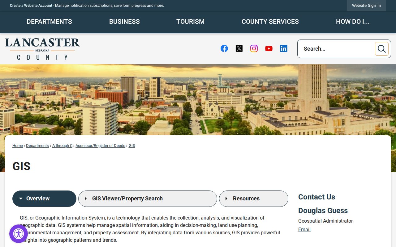
The GIS view supplies present parcel context. It is not a survey, and it cannot prove that the current street name matches every older directory label.
Historic addresses can also be rural road names, township descriptions, or lot and block language. The safest continuity check joins the GIS parcel, the plat, the deed description, and the relevant map rather than relying on one street-name match.
Lincoln Permit Dates and Addresses
Permit records can date a change to the structure or a city filing connected with the address. Lincoln's legacy occupancy search covers May 1, 1999 through January 18, 2013; later records are in Accela. The Planning Application Tracking Service, or PATS, can add an address or PIN-linked application, hearing, or document. These sources can explain a remodel, demolition, or new construction, but they do not prove a complete household roster.
For an older building, compare a permit date with a Sanborn map and a directory year. A mismatch often signals an address change, a changed building use, or a need to check the legal description again.
Closing Lancaster Previous Residents Evidence
Use obituaries, probate, and burial evidence to close a past-resident timeline, not to replace the address record. Bennett Martin holds Alba-Brown Mortuary Records for 1921 through 1965 and eight Lancaster County cemetery books. Newspapers can supply an obituary, probate notice, marriage announcement, or former-community reference. A probate file may identify heirs or a personal representative, while a deed explains whether real estate changed hands.
Wyuka Cemetery's official information is a local cemetery route for corroborating a death or family connection.

A cemetery result can support a death date or family link. It does not by itself establish residence at a particular address, so it should be paired with a dated directory, census record, deed, or probate material.
Lawful use. Lancaster County prior-resident research is appropriate for family history, estate questions, and personal property history. Nebraska stalking and harassment laws prohibit conduct that threatens, intimidates, or seriously terrifies another person; never use an address trail to track or harm a living person.